
What is a Laser Scanning?
We can scan elevations or any surface and produce accurate point clouds in great detail all to a scale that is suitable for our clients needs
Do I need Laser Scanning?
Get in contact with us if you think you need Laser Scanning done on your property
Health and Safety:
All of our surveyors are provided with – Construction Skills CSCS Smartcard training. We are also completely open to adapting to any site specific inductions and procedures.
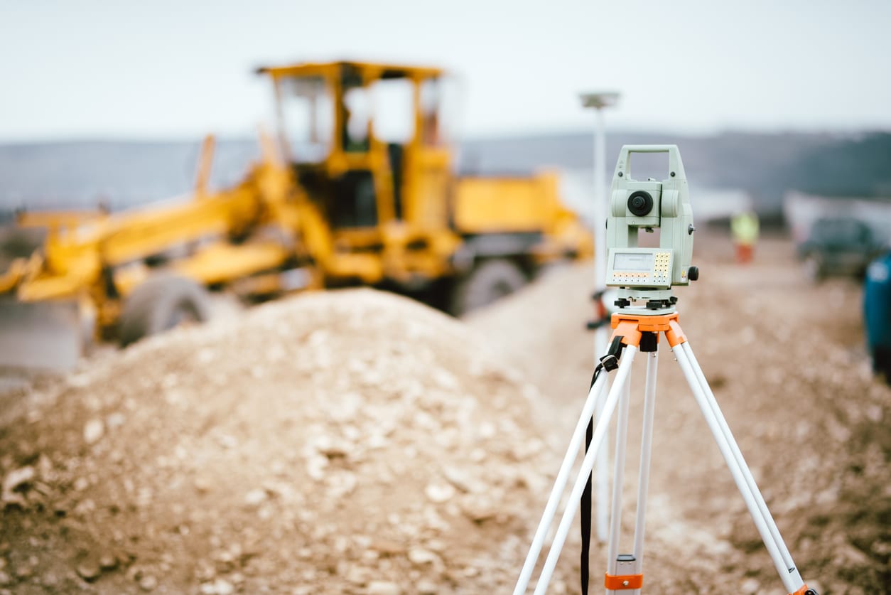
Equipment:
We believe in using the best equipment available and all of our surveyors use the following Leica Geosystems instruments; Robotic Total Stations, GPS Rovers and Disto Laser Measures. This allows us to conduct highly accurate Hampshire boundary surveys.